Document stormwater infrastructure issues, obstructed waterways, and active flooding across the North Shore of Oʻahu following the March 2026 Kona lows. For best results, enable Location Services for your camera app in Settings.
How to use:
- Tap any structure, conduit, canal, or stream on the map
- Click Report Issue in the popup
- Select the issue type, severity, and add photos
- Submit — works offline too
Tap anywhere on the map to report ponding, land drainage, or other issues at a specific location.
Reporting flooding: Choose Flooding as the Issue Type to capture water depth and state (active / receding / receded). Use the Draw Flooding button to outline a flooded area as a polygon with the same depth and state details.
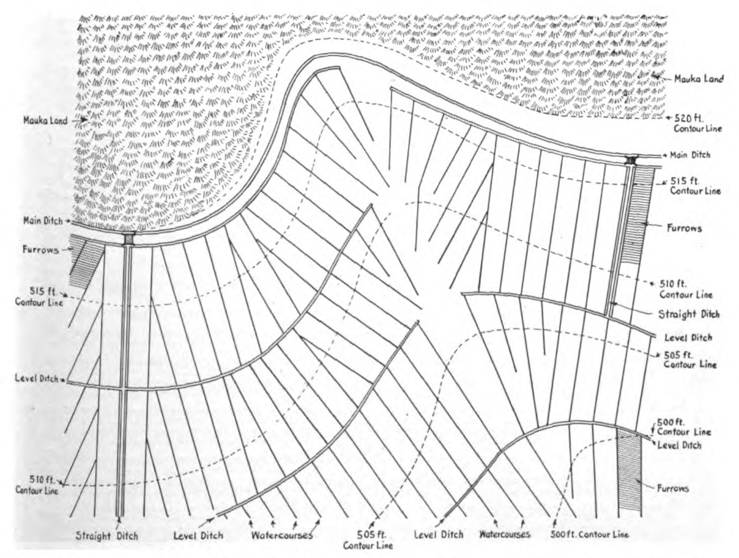
Use the Draw Waterway button to map canals, ditches, or drainage paths and indicate landowner access for maintenance crews.
Data layers:
- Stormwater structures, conduits, and basins (City & County of Honolulu)
- Irrigation ditches and diversions (Hawaiʻi Statewide GIS / AWUDP)
- Perennial and intermittent streams (DLNR DAR)
- Wetlands (USFWS National Wetlands Inventory)
Built for North Shore flood response by Supersistence